
Outdoorkartan
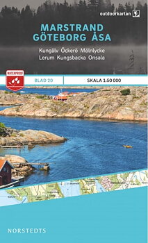
The outdoor map is a new series of topographic outdoor maps of 28 sheets. The maps have a completely new look of their own and are printed on a new and very durable and water-resistant material. The cartography, the material and the print quality all together provide very clear and easy-to-read maps ideal for hiking, paddling and mountain tours.
The entire Swedish mountain chain – from Riksgränsen in the north to Sälen in the south – is covered in the unique scale of 1:75,000 and the distribution is adapted to the hiking trails. The Kungsleden is specially marked and has information on distance and walking time. The southern series covers popular outdoor areas on the east and west coast at a larger scale – 1:50,000.
4 articles